
The Grand Finale – The Day We Neatrly Didn’t Hike – Fimmvörðuháls to Skógafoss🇮🇸
- Day 5/6 Hike – Monday 25th & Tuesday 26th August 2026
- Þórsmörk- Fimmvörðuháls to Skógafoss
- 25km
We arrived in Þórsmörk feeling pretty pleased with ourselves.
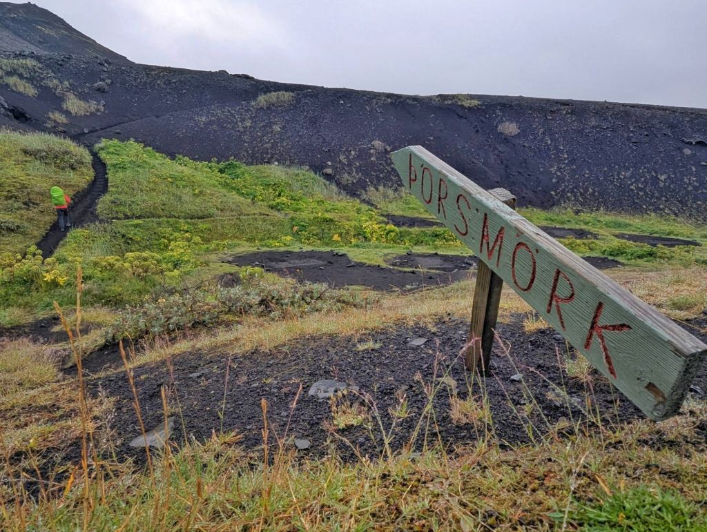
Four days of hiking behind us, the Laugavegur Trail almost complete and just one final and potentially biggest day ahead.
Tomorrow we’d be heading up and over Fimmvörðuháls, the high mountain pass between the glaciers, before descending towards Skógafoss.
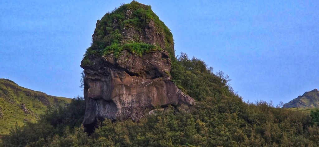
We checked into the campsite, got ourselves settled and then did what any sensible hikers would do before tackling the highest part of the trek…
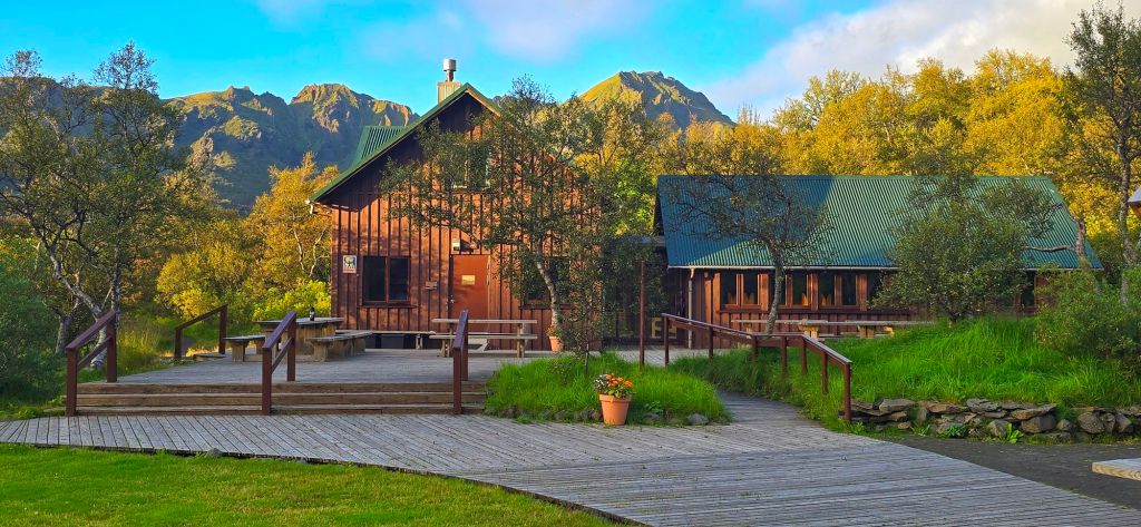
We went to interegate the ranger about the weather.
And that’s when things took a bit of a turn.
Not Exactly the Forecast We Wanted
We asked what the conditions were expected to be the following day. The answer wasn’t great.
We were told to expect high winds with some sections of the ridge potentially dangerous. Visibility could also be poor, making navigation difficult in places.
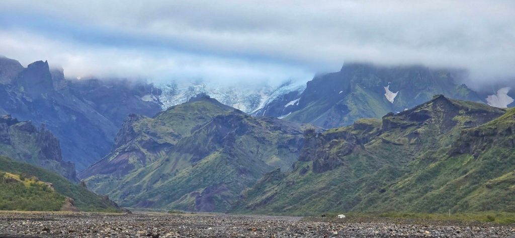
The advice was clear. If we could put off a day, which technically we could then it was a case of don’t go tomorrow.
It wasn’t what we’d planned, but after four days of hiking through Iceland, we weren’t about to take unnecessary risks just to stick to a schedule. We also wanted decent views and we were told the following day would be great conditions. So we waited!
And then, later that afternoon, the ranger came looking for us again. This time, she had even worse news.
The Trail Was Closed
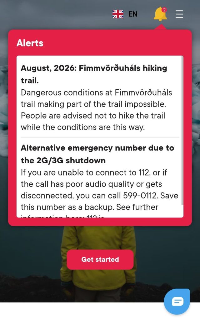
She showed us a trail report stating that parts of the route were closed because an ice bridge collapsed, making the trail impassable.
We were absolutely devastated. We’d spent eight years waiting to do this trek.
We’d walked all the way from Landmannalaugar.
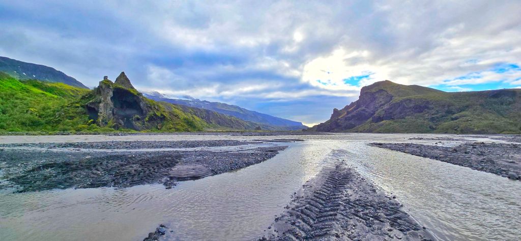
We’d crossed rivers, climbed mountains, carried everything we needed on our backs and were now so close to completing the whole 80+ km route.
And suddenly, we might not be able to finish it. The advice was for hikers not to attempt the route.
So that was that.
Or at least, we thought it was.
Something Didn’t Quite Add Up
Later that afternoon, we got chatting to another couple who had just come down from the trail.
When we told them what we’d been told, they looked genuinely shocked. They hadn’t seen any signs of an impassable section.
They showed us photographs they’d taken, including pictures of the exact area we’d been told was impossible to cross.
Then we spoke to another couple. Same story.
They’d also completed the section (after the alert was sent out) and hadn’t encountered anything that matched the description we’d been given.
Now we were confused.
We weren’t about to ignore an official warning, but there seemed to be conflicting information coming from people who had actually just walked the route.
So we decided on a plan.
The Executive Decision
We’d wait. If the weather improved tomorrow, we’d hike up towards the problem section and make our own assessment from there. We wouldn’t blindly carry on. If we got there and it looked dangerous, we’d turn around.
Simple.
But if conditions were good and we felt it was safe to continue, we’d make the decision there. It felt like the only sensible way to approach it.
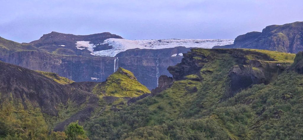
So then…The next morning arrived. And What a Morning. The weather was absolutely perfect. Blue skies. Good visibility. Little to no wind. The kind of conditions you’d dream about for a mountain crossing.
So we packed up, put our boots on and headed upwards.
And honestly…Oh my goodness.
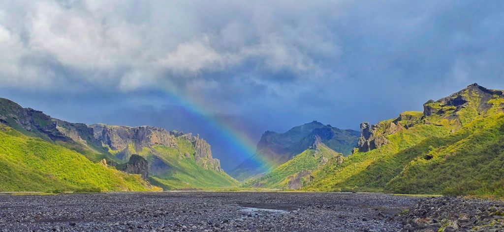
What followed was one of the most incredible days of hiking. Possibly my favourite day of the entire trek…infact definitely my favourite day of the entire trek.
Into a Completely Different World
From the moment we started climbing out of Þórsmörk, the landscape began changing again. This was different from everything we’d experienced on the Laugavegur.
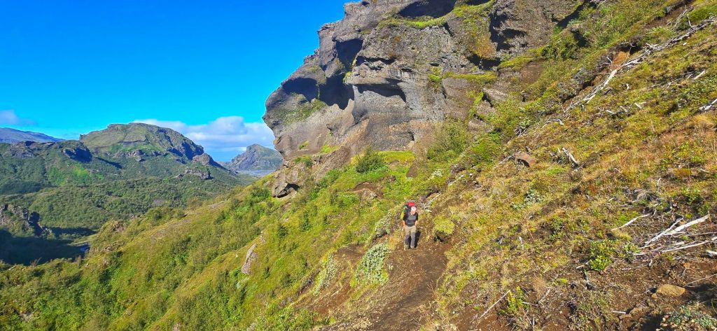
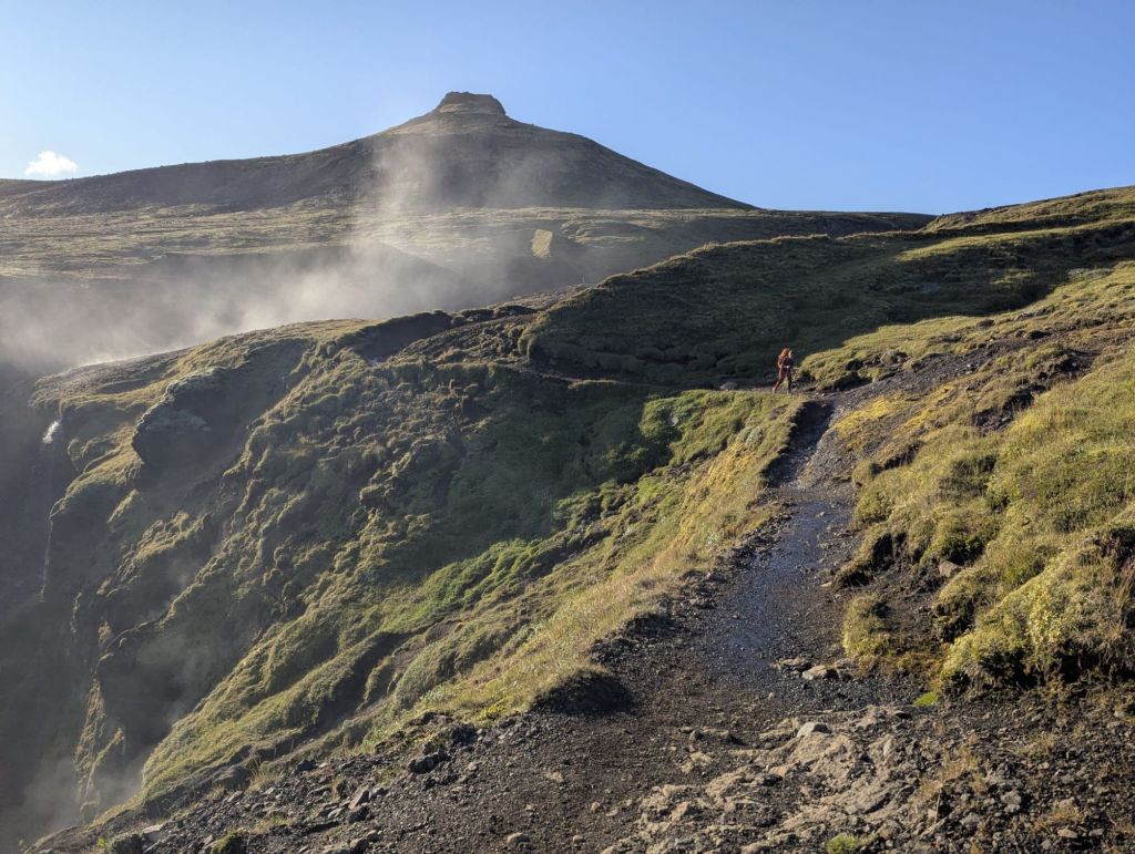
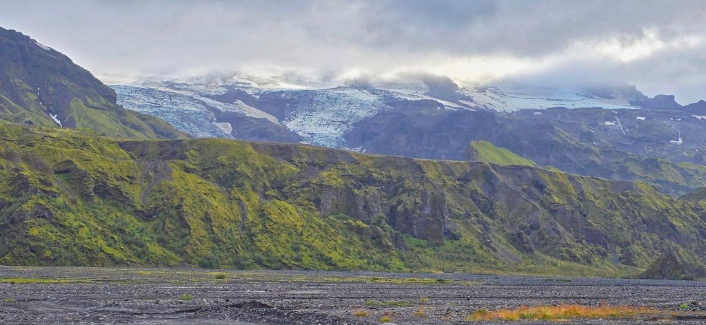
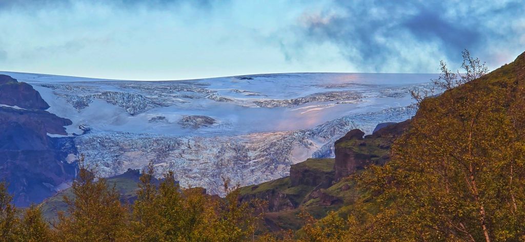
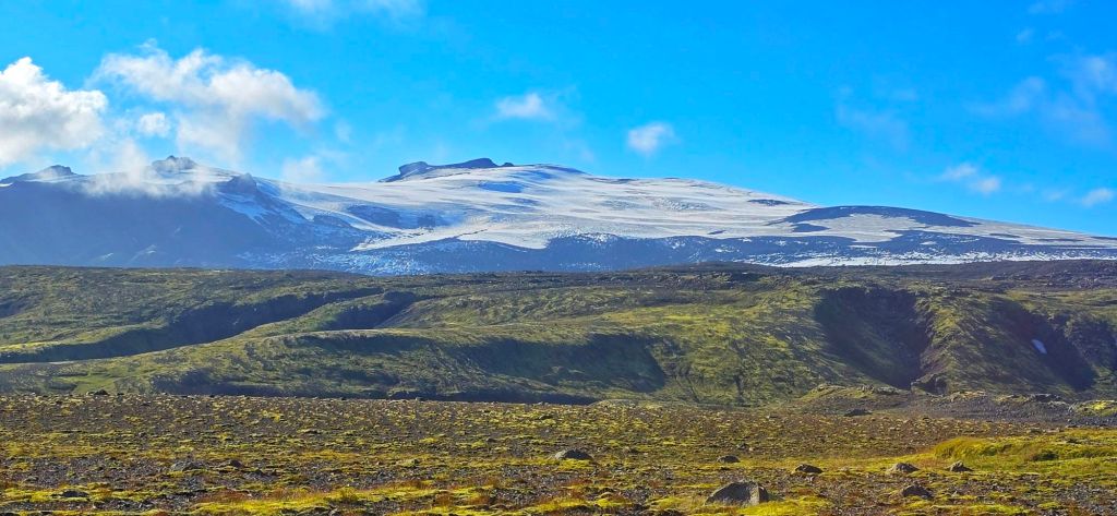
Þórsmörk slowly disappeared below us, the mountains opened up and the glaciers began to dominate the horizon.
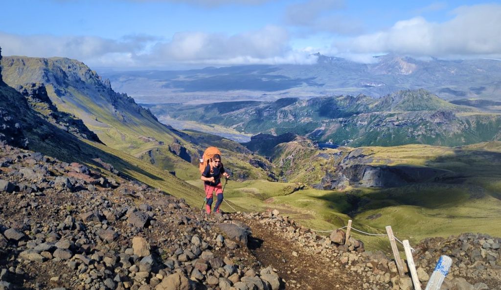
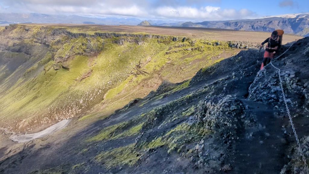
It was one of those climbs where you look up and think, “Surely that’s the top?”, only to discover that the trail has other ideas. But with every step upwards, the views became bigger.
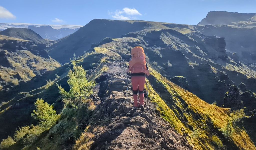
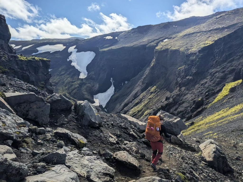
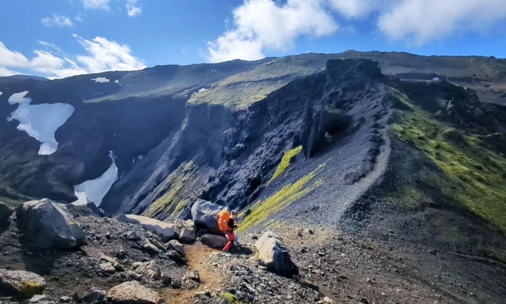
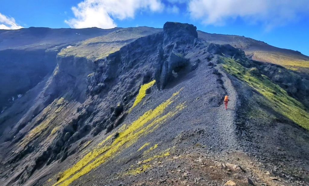
We were heading into a landscape shaped by fire and ice, snow, glaciers, volcanic rock and huge open skies all coming together.
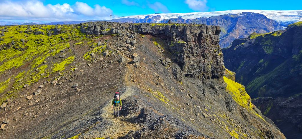
And because we’d waited for the right conditions, we could actually see it all.
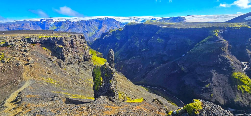
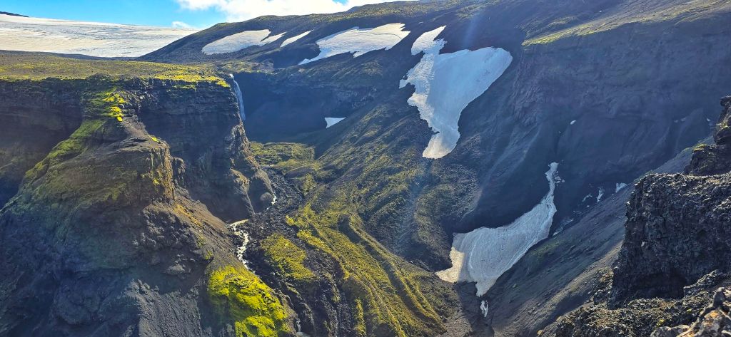
The visibility was incredible. Every time we looked back, Þórsmörk seemed to get smaller below us. Every time we looked ahead, there was another mountain, another glacier or another completely ridiculous view.
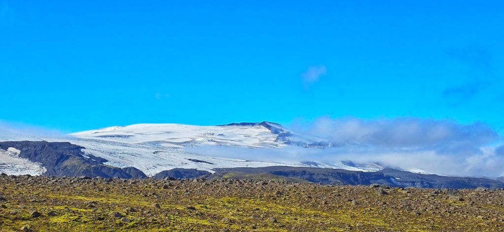
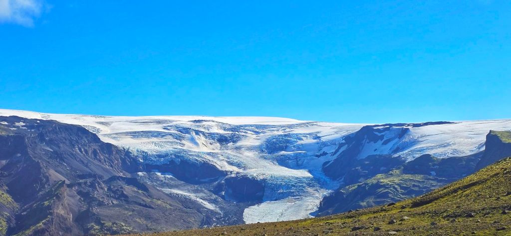
We were stopping constantly. Not because we were tired. Because we simply couldn’t stop taking photographs.
Walking on New Earth
Then came one of the most surreal parts of the entire trek. We reached the Goðahraun lava field, created during the 2010 eruption at Fimmvörðuháls.
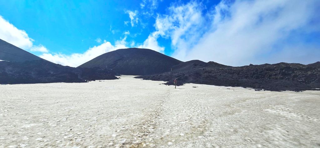
This isn’t ancient volcanic terrain that’s been weathered and softened over thousands of years. This is new ground.
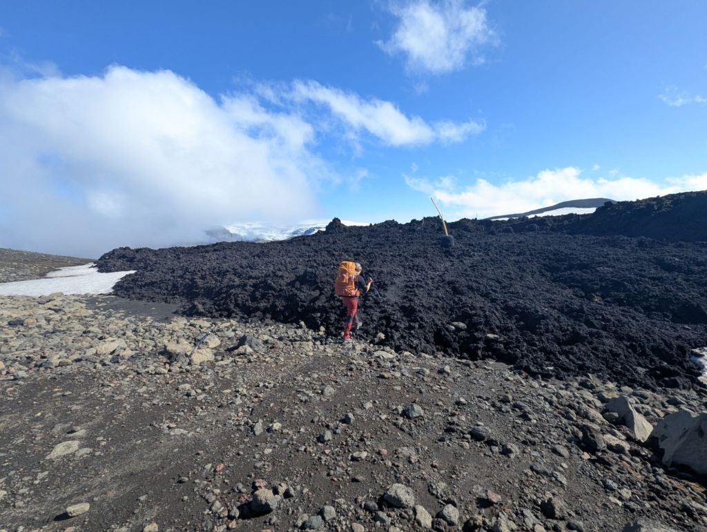
The eruption created the twin craters Magni and Móði, named after the sons of Thor and the trail takes you directly through this extraordinary young volcanic landscape.
And there we were…Walking across lava that was formed during an eruption that happened in our lifetime. There was something incredibly strange about that.
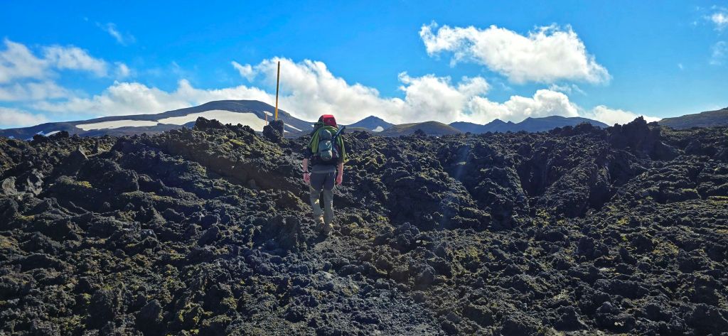
The landscape was black, jagged and almost completely alien-looking, with the glaciers rising behind it. It felt like we’d stepped onto another planet.
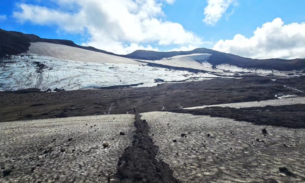
Iceland really does have a habit of making you feel very small. And very, very lucky.
The Part We’d Been Warned About
Eventually we reached the section we’d been told was dangerous and potentially impassable. Infact the section was 10 minutes from the Fimmvörðuháls Hut, so we were pretty much right at the top of the mountain.
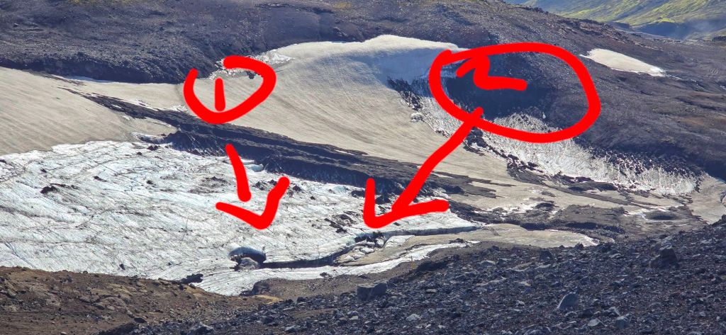
We stopped. We looked carefully at the route.
We assessed the conditions for ourselves. And yes, we could understand why this area could be extremely serious in poor weather.
But today? The conditions were fantastic. The visibility was clear. The weather was calm. And the section that we’d been told was impassable simply wasn’t anything like as bad as we’d expected.
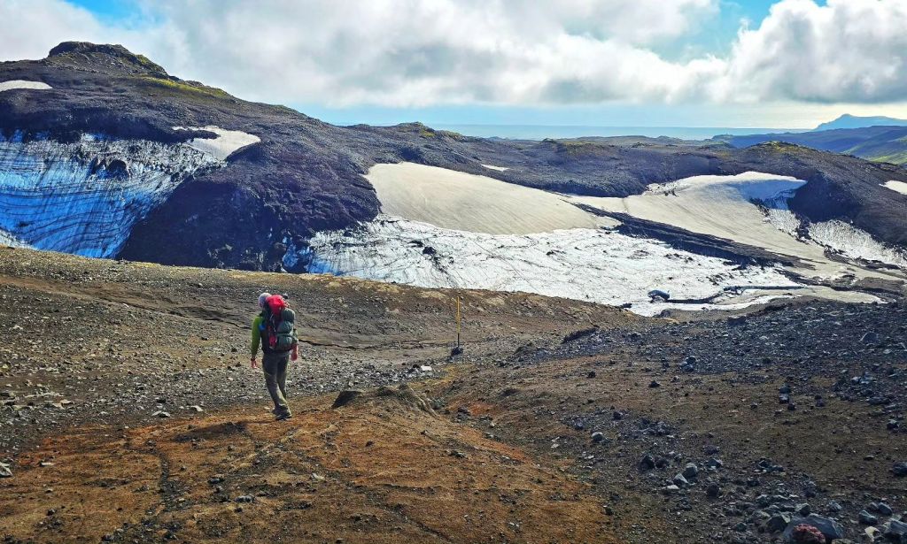
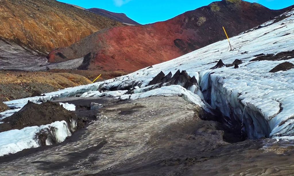
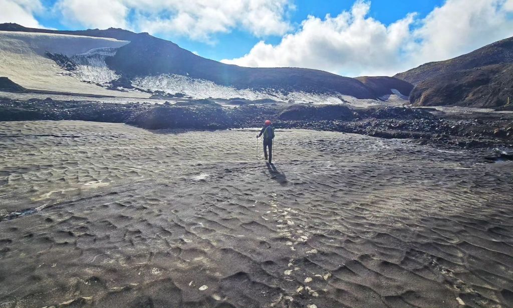
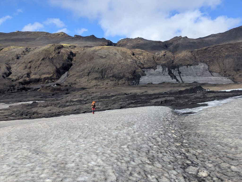
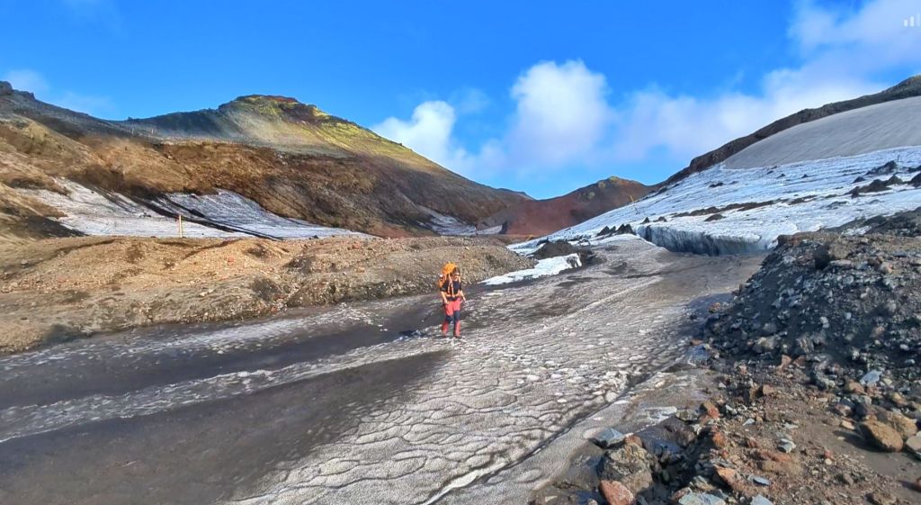
So we made the decision. We were going over. And I’m so glad we did.
Fimmvörðuháls Hut
Eventually, after what felt like an endless uphill battle, we reached the hut at the top, feeling pretty smug.
There was something quite surreal about arriving to find that it was almost completely deserted. It was just us and the ranger.
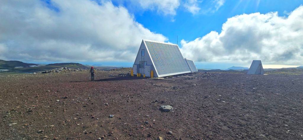
The ranger was an older Icelandic woman who was, quite simply, an absolute character.
We got chatting and before we knew it, we’d been sitting there for around 45 minutes, listening to her stories about life and working up there on the mountain. She told us about the weather, the hikers she’d encountered, what it was like spending time so high up in such an exposed landscape and all the little adventures that come with being the person looking after this remote corner of Iceland.
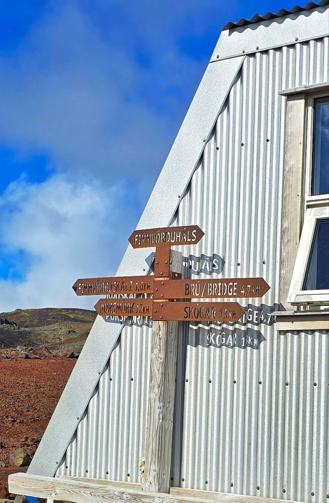
There was something really special about sitting outside that little hut, high in the mountains, with the two of us and this wonderfully entertaining woman who clearly had plenty of stories to tell.
We honestly didn’t want to leave. However, when two other trekkers arrived we felt better about leaving.
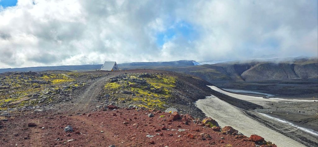
The trail was still waiting for us and Skógafoss was still a long way away. So, reluctantly, we said our goodbyes, shouldered our backpacks and headed back out into the wilderness.
And somehow, that unexpected 45-minute conversation became one of the moments we’d remember just as much as the incredible scenery. Sometimes it’s the people you meet along the way that make an adventure.
Could This Be My Favourite Day?
There are some days on a trek that are difficult. There are days that are beautiful.
And then there are days where everything just comes together. This was one of those days.
The weather. The views. The glaciers. The volcanic landscape. The new lava fields. The craters. The feeling of being right up there between two enormous ice caps.
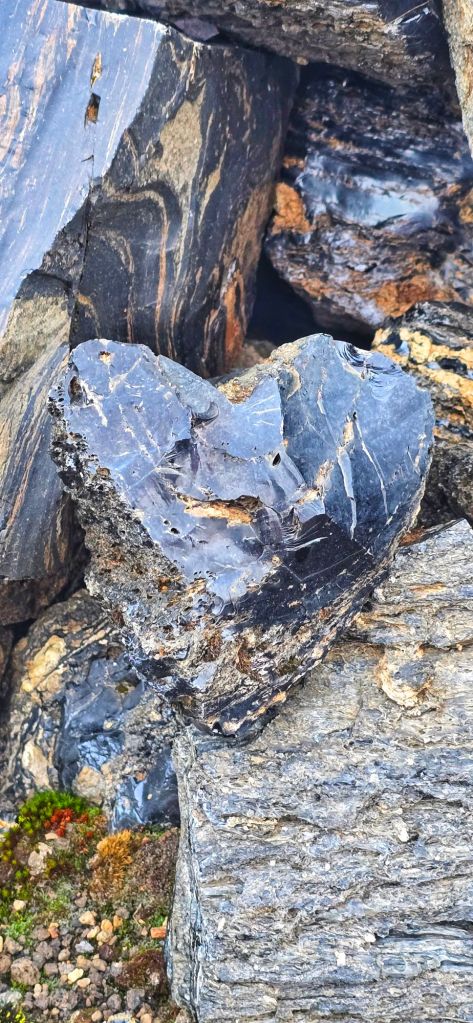
It was completely different from the colourful rhyolite mountains of Landmannalaugar, the snow-filled valleys, the black deserts and the lush greenery of Þórsmörk. This felt wild.
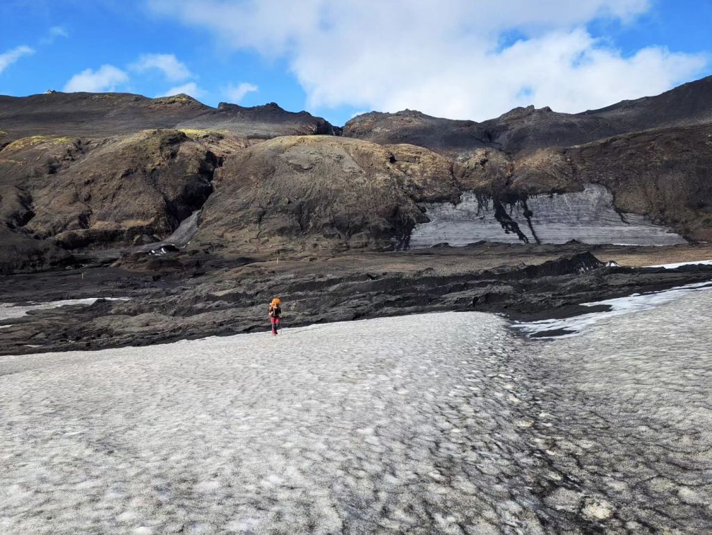
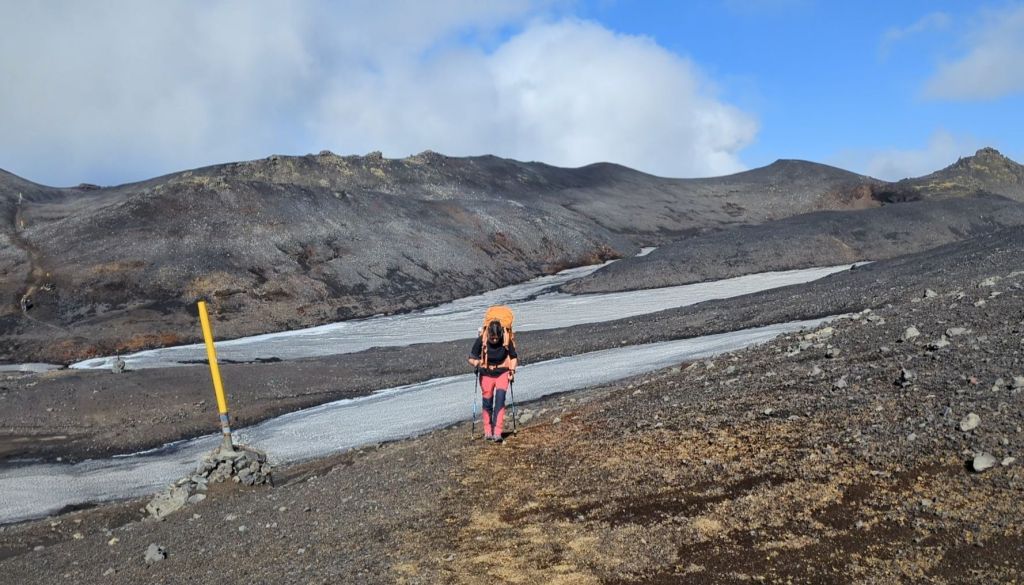
And maybe that’s why it became my favourite. In one single day, we seemed to experience everything Iceland is famous for – fire, ice, mountains, glaciers, volcanic landscapes and endless skies.
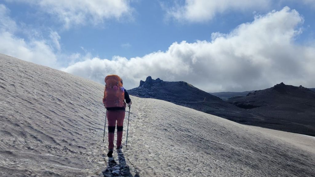
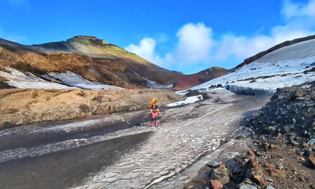
And we were lucky enough to experience it in almost perfect conditions.
Towards Skógafoss – The Waterfall Trail
Eventually, we had to leave the highlands behind and begin our long descent towards Skógafoss.
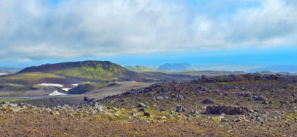
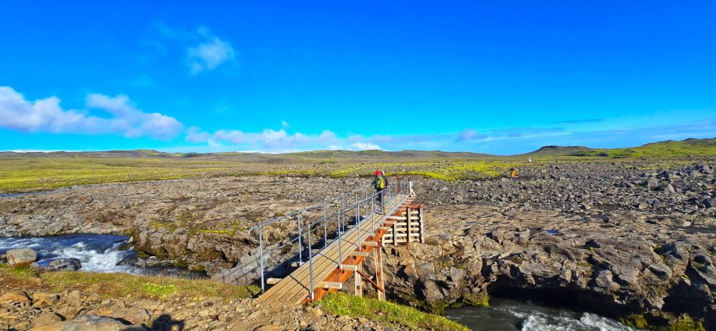
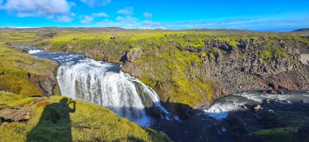
As we began the descent the landscape changed once again.
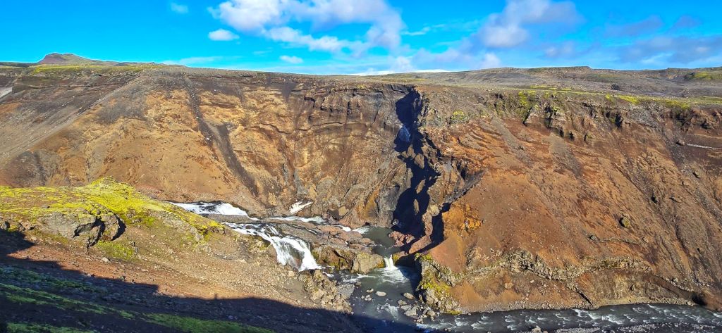
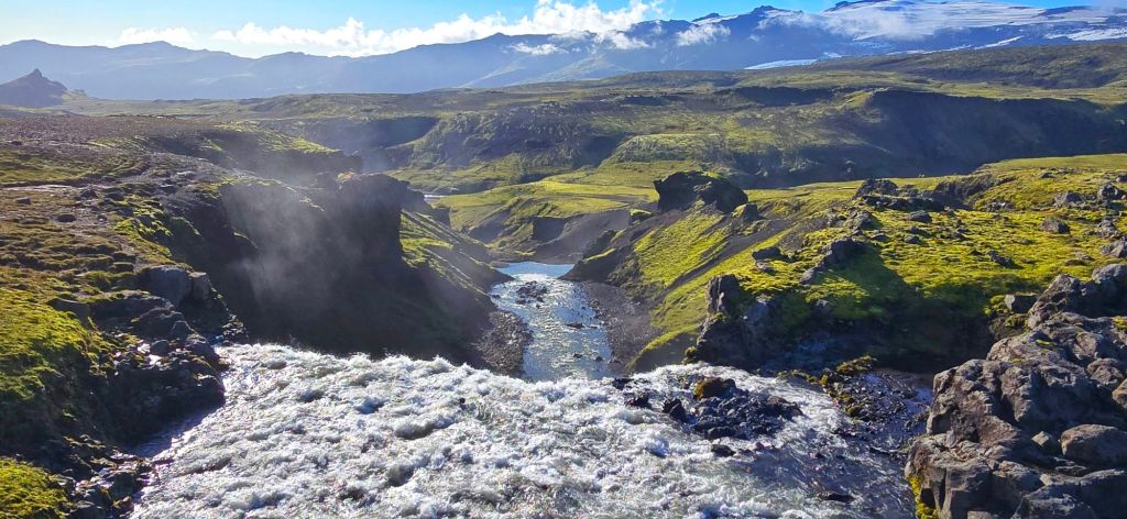
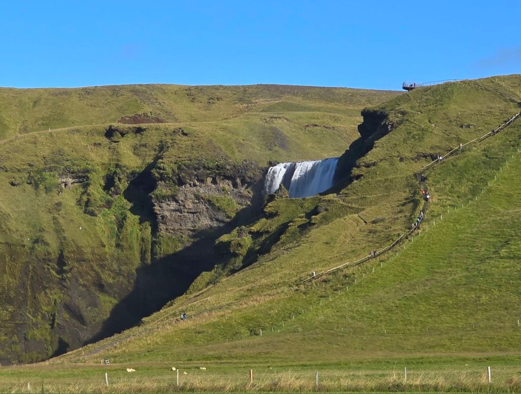
After spending the morning high up amongst glaciers, volcanic craters and fresh lava fields, we were suddenly following the Skógá river, with waterfall after waterfall appearing below us.
There are around 25–26 waterfalls along this stretch and it honestly felt like Iceland had decided to save another spectacular surprise for the final few kilometres.
Every time we thought we’d seen the best one, another appeared.
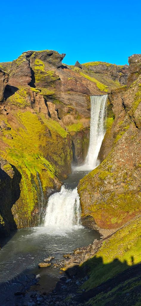
Some were huge, others smaller and tucked into the landscape, but together they created the most incredible route down towards Skógafoss.
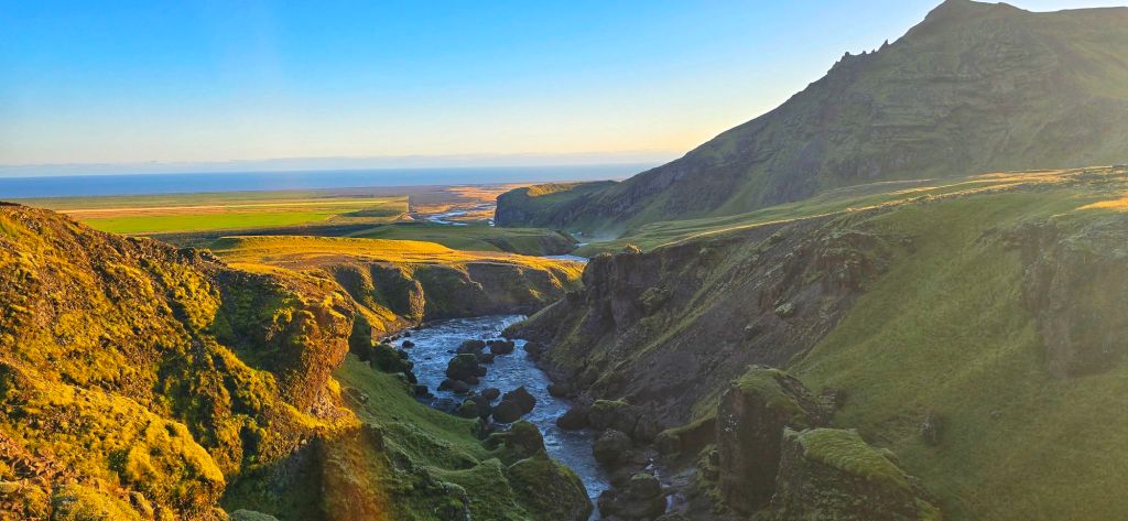
And then, somewhere amongst all those waterfalls, it started to sink in…
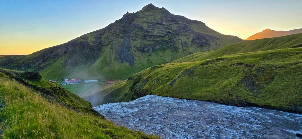
This was it.
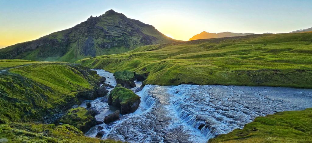
After five days, more than 80 kilometres, two trails, countless mountains, snowfields, rivers, glaciers, volcanic landscapes and enough photographs to fill our phones several times over, we were finally making our way towards the finish. And somehow, we still didn’t want it to end.
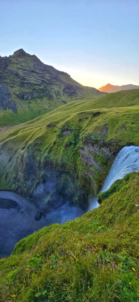
But waiting at the end was Skógafoss.
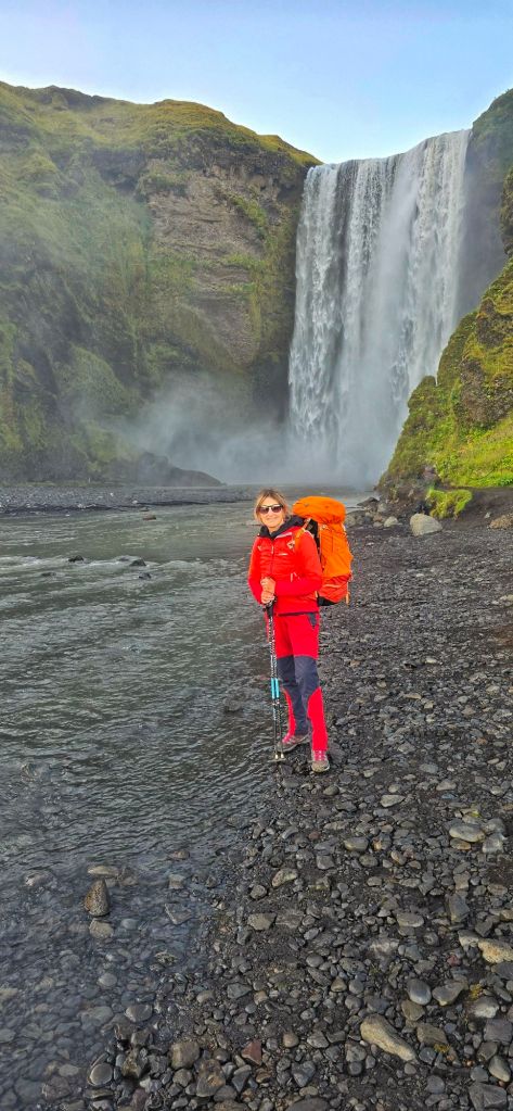
Not a bad way to finish a trek.
One More Night
There was just one small problem.
The bus times meant we couldn’t leave Skógafoss that night, so we’d be spending another night camping. And honestly?
We weren’t complaining.
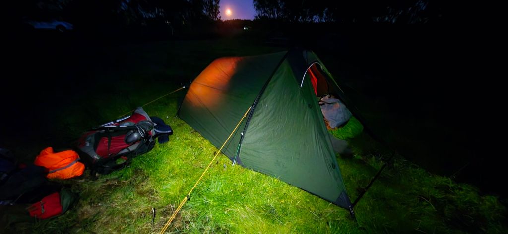
After everything we’d just experienced, having one more night under those Icelandic skies felt like the perfect ending.
The trek we’d waited eight years to do was finally complete.
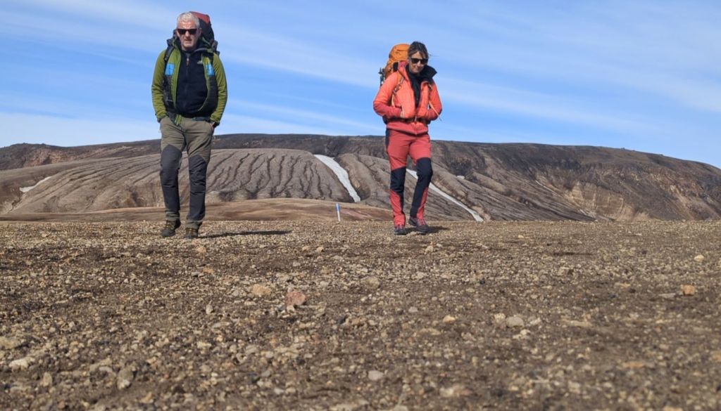
And what a way to finish it.
Day 5 verdict:
🥾 Distance: 25 km
🏔️ Highest point: Fimmvörðuháls
🌤️ Weather: Absolutely perfect
🌬️ Yesterday’s forecast: Terrifying
☀️ Today’s reality: Couldn’t have been better
🚧 Trail: Apparently impassable… apparently not
👀 Decision: Assess it ourselves
🏔️ Views: Absolutely ridiculous
🎒 Backpack: Somehow still alive
🦵 Legs: Where was this energy on Day 1? 😂
❤️ Feeling: We actually did it
⛺ Bonus: One more night under Icelandic skies

