
Into the Highlands, The Land of Fire and Colour 🇮🇸
- Day 1 Hike – Thursday 20th August
- Landmannalaugar – Hrafntinnusker
- 12k, 664 m ascent
After eight years of waiting, the day had finally arrived.
We were up early and on the 7am bus from Reykjavík, heading towards Landmannalaugar and the start of our 80+ km adventure.
And even getting to the start of the trail felt like an adventure in itself. The bus journey was something else. This wasn’t exactly your average bus ride along a nice, smooth A-road.
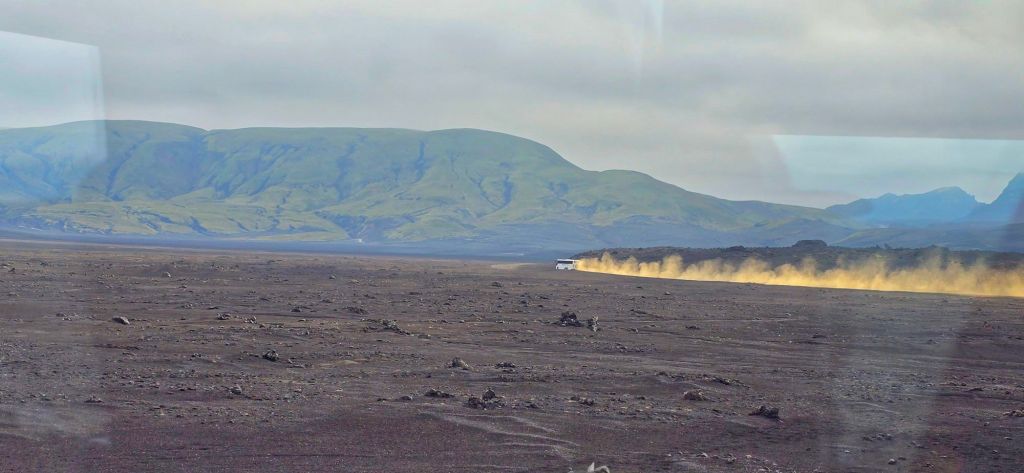
We were heading deep into the Icelandic Highlands, bouncing our way across what looked like endless black desert, negotiating rough tracks and crossing rivers along the way.
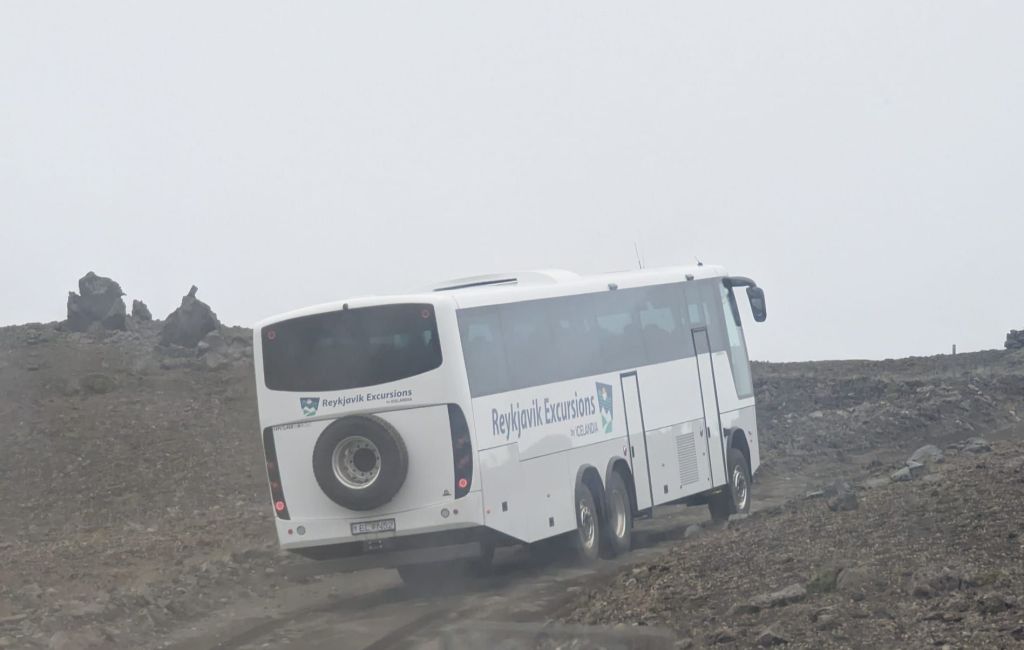
It was more off-roading adventure than bus journey.
And we loved it.
As we got closer to Landmannalaugar, the excitement started to build. We’d been talking about doing this trek for years and suddenly we were actually here. And what a day to arrive.
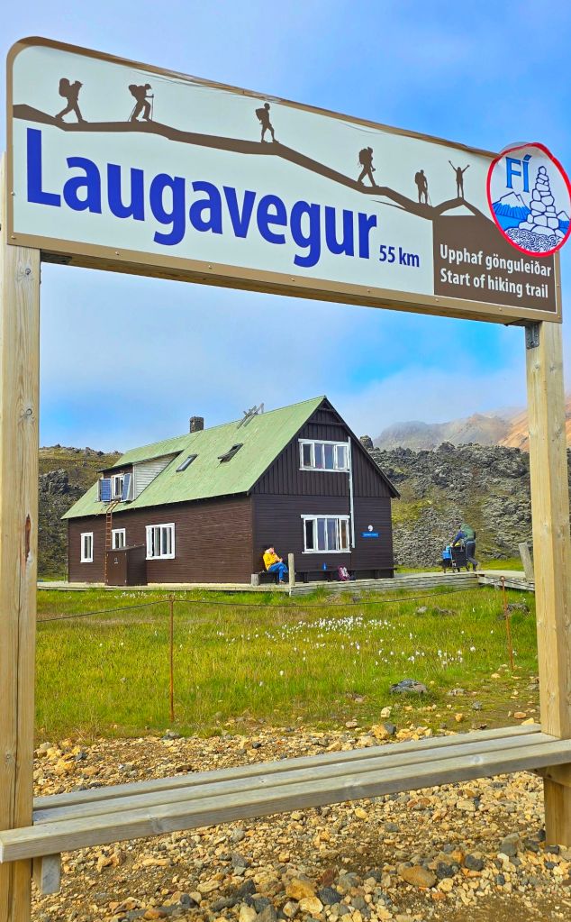
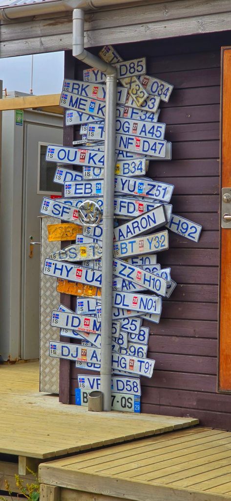
Landmannalaugar
We had some time to take everything in before setting off, so we found a spot, had some lunch and just sat watching the landscape around us.
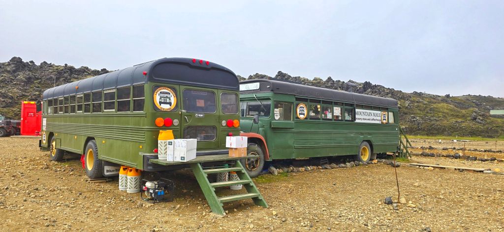
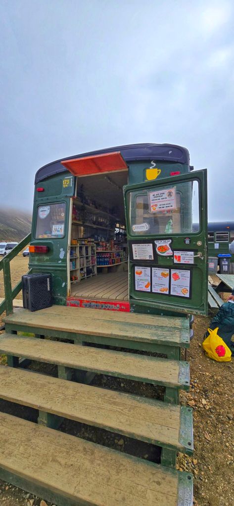
The weather couldn’t have been better. Blue skies, sunshine and that kind of scenery that makes you wonder whether Iceland has secretly turned up the saturation on the planet.
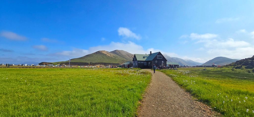
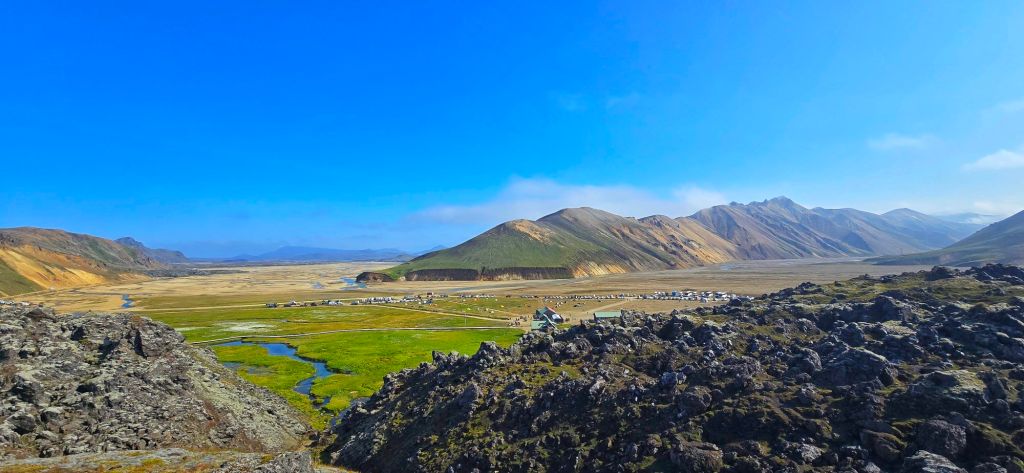
The mountains were incredible. And the colours…Absolutely spectacular.
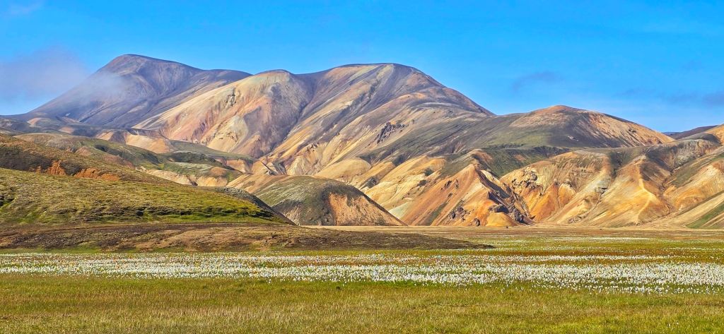
Reds, oranges, yellows, greens and deep volcanic blacks all seemed to blend together across the landscape. It was almost impossible to believe that somewhere could naturally be this colourful.
It was an impossibly beautiful landscape and we hadn’t even started walking yet.
But eventually, lunch was finished, backpacks were on and there was no more procrastinating. Time to walk.
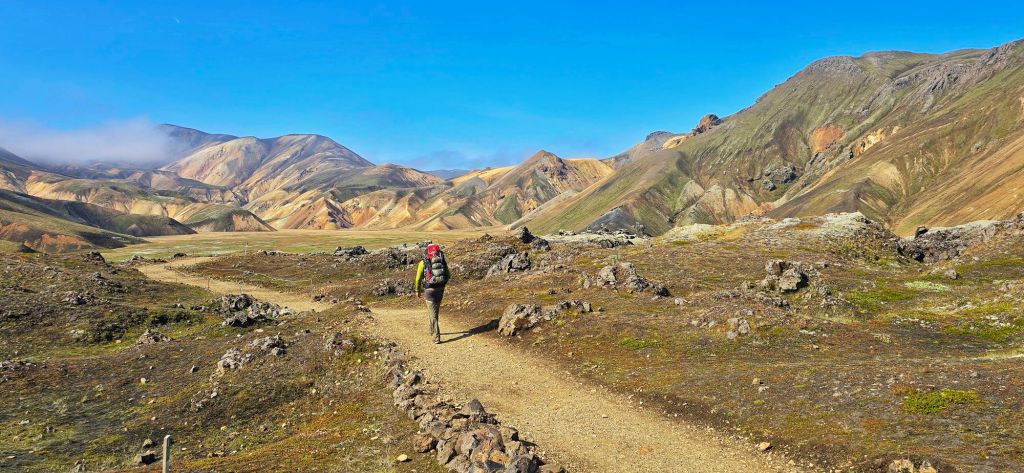
And so it begins…
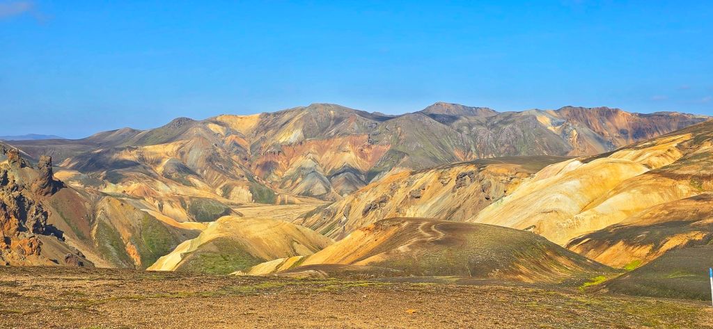
The first 12 km from Landmannalaugar to Hrafntinnusker is one of the most dramatic sections of the Laugavegur Trail, climbing around 664 metres into the highlands.
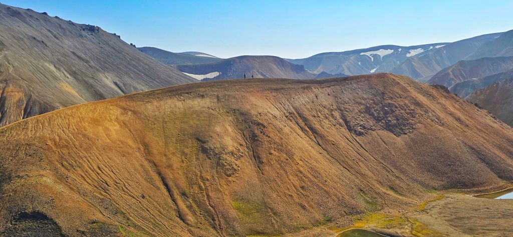
Depending on your pace or the amount of photos you take, it’s generally a 3½–5 hour hike.
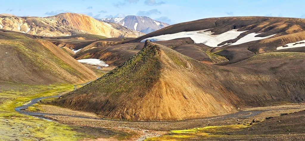
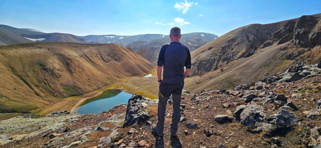
But we’d arrived on a day like this…
So obviously, there was absolutely no chance we were doing it in 3½ hours. Not when there was a photograph-worthy view every five minutes.
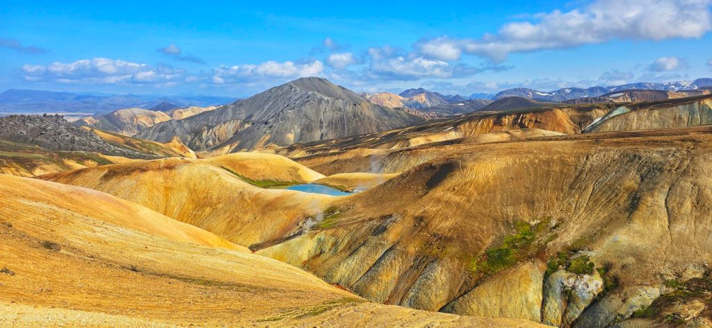
We started by crossing the rugged Laugahraun lava field, picking our way over the jagged black volcanic rocks before climbing higher into the colourful rhyolite mountains.
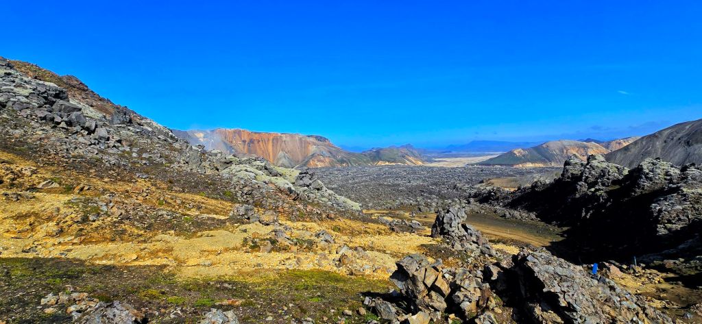
And every time we thought we’d seen the best view, another one appeared.
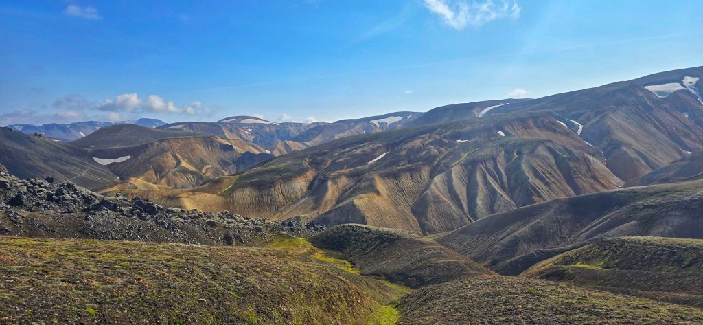
Brennisteinsalda – The Sulphur Wave
One of the highlights was Brennisteinsalda, the famous multicoloured mountain known as the Sulphur Wave.
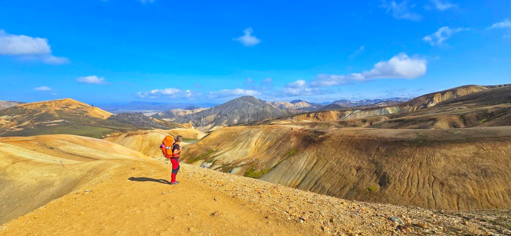
It’s difficult to describe just how vivid the colours were.
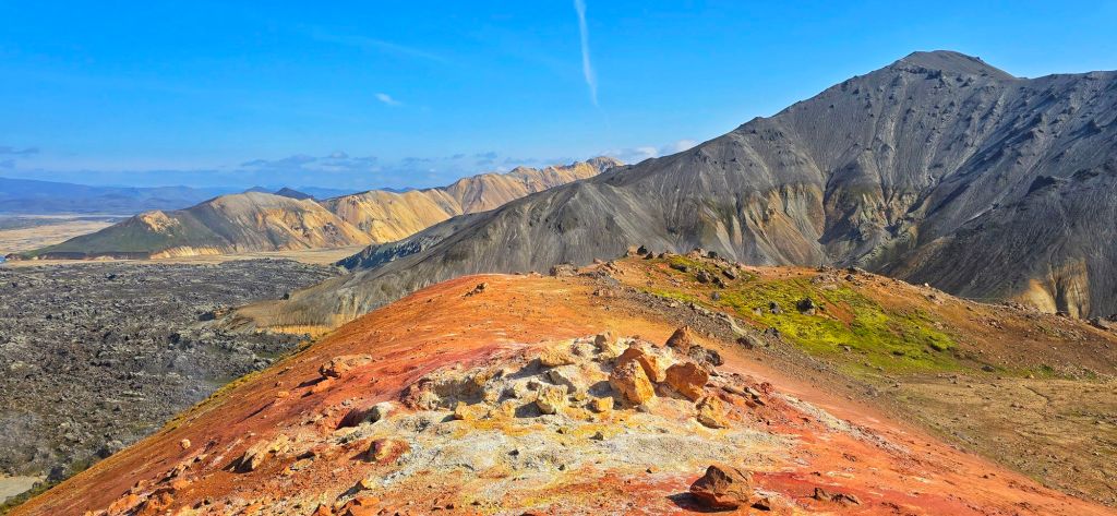
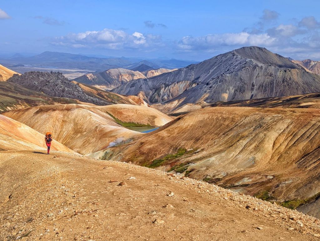
The reds, yellows and greens caused by the volcanic minerals stood out against the black lava and blue sky, making the whole place look almost unreal.
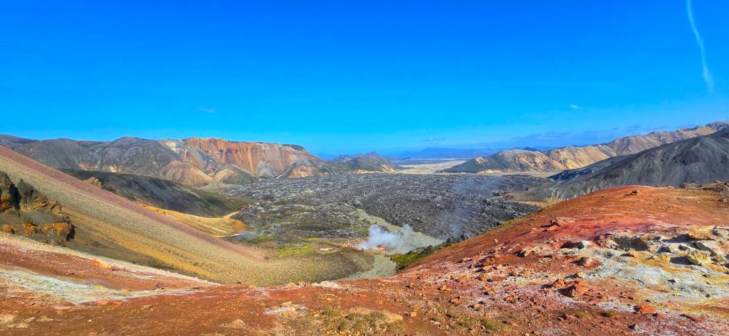
It was one of those moments where you stop walking, take the backpack off and just stand there thinking “How is this actually real?” And, of course, take approximately 47 photographs.
Stórihver & the climb higher
Further along we passed Stórihver, where violently steaming vents and hot springs bubble away in the middle of this otherwise stark volcanic landscape.
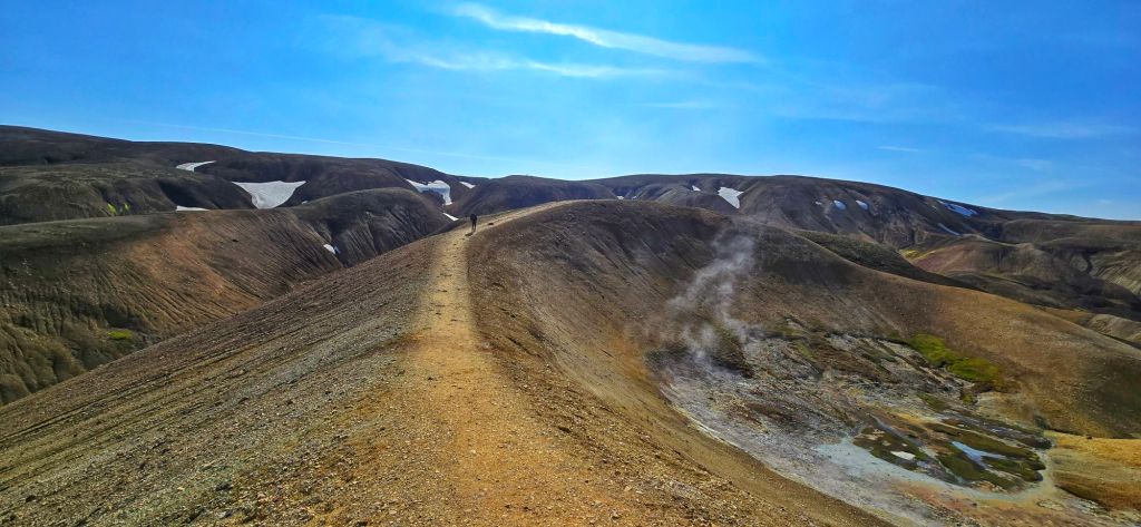
It’s a strange feeling walking through somewhere so wild and barren while steam is rising from the ground around you.
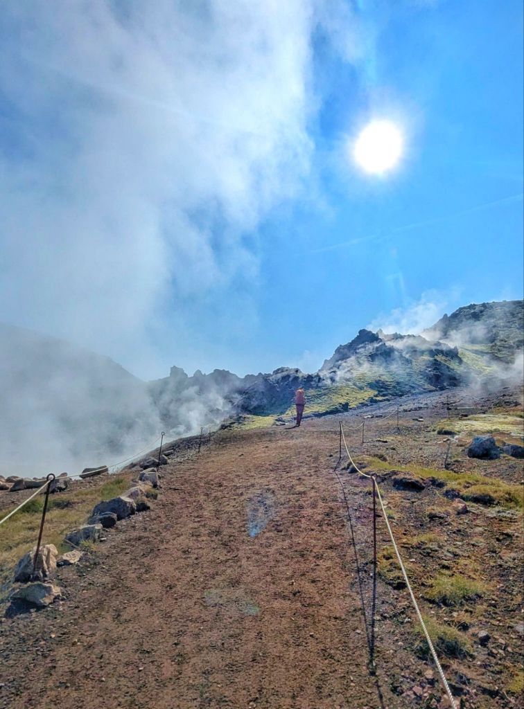
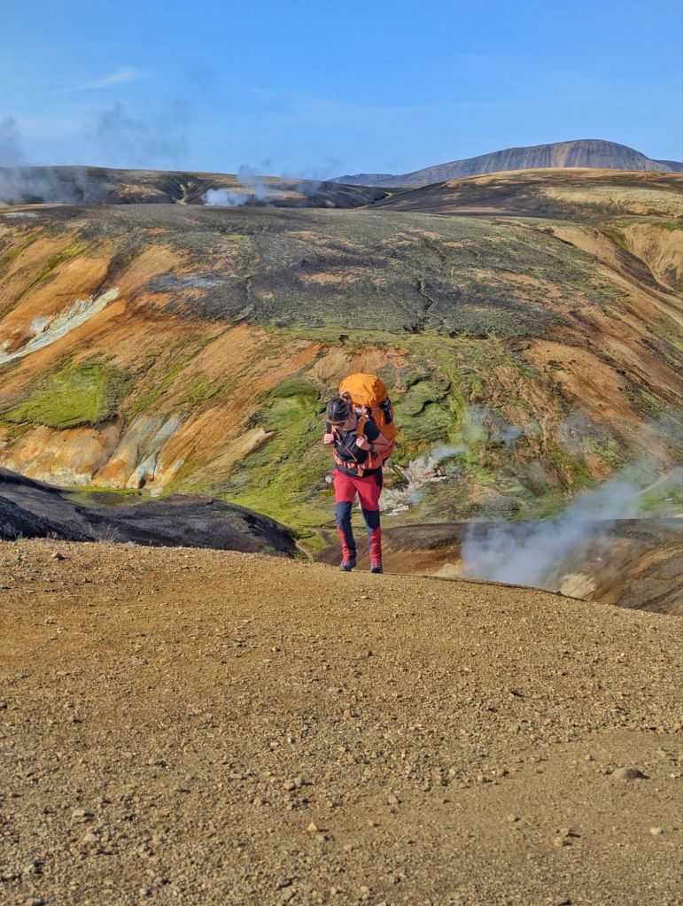
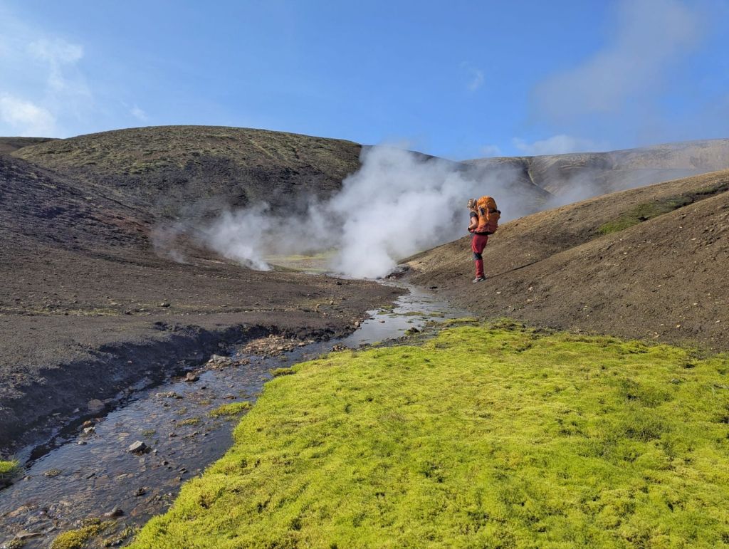
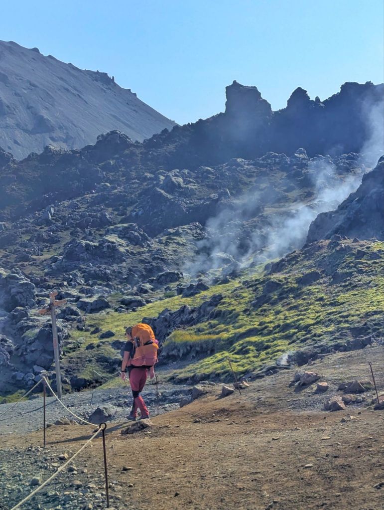
From here, the trail continued upwards towards the high plateau.
The landscape gradually changed again. The vibrant colours gave way to vast black obsidian fields and patches of snow.
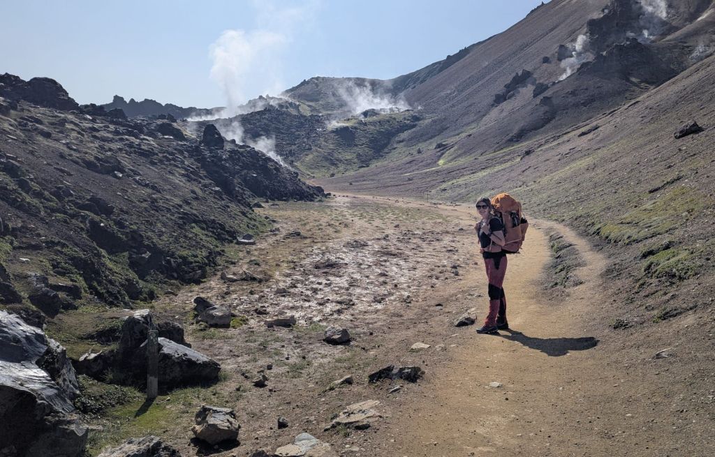
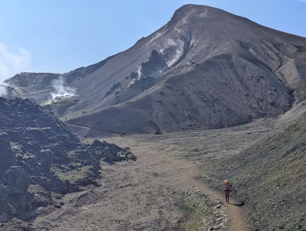
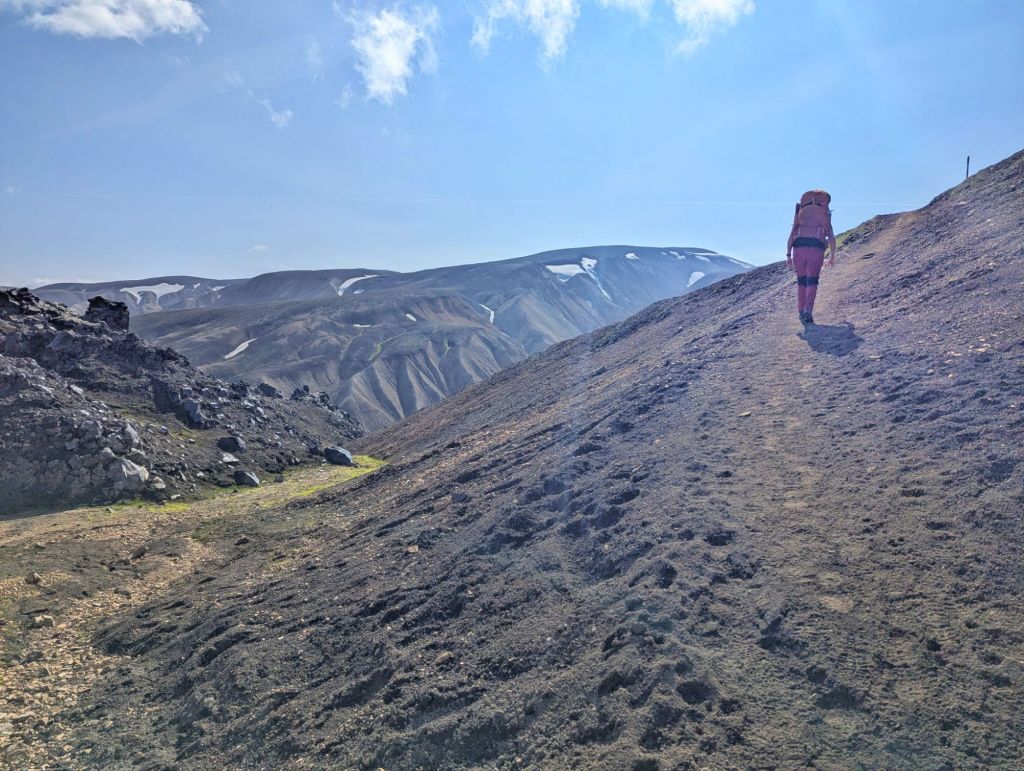
The higher we climbed, the more remote everything felt.
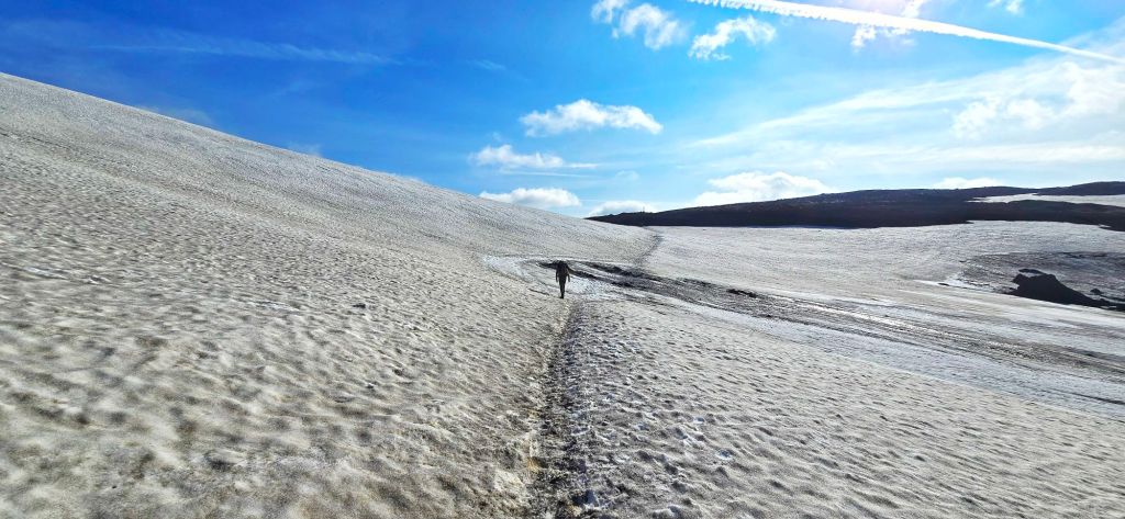
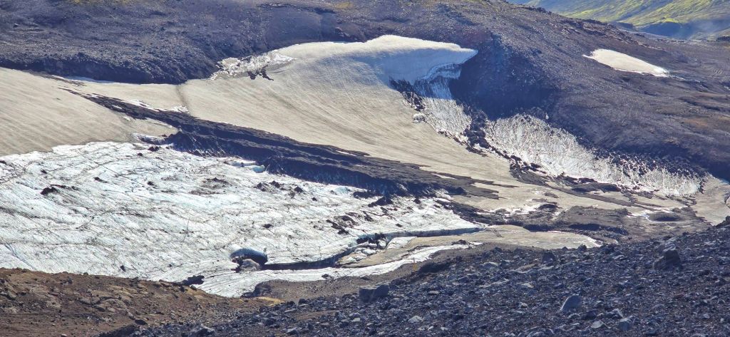
And with the blue skies stretching above us, the views just kept getting bigger.
This is supposed to be one of the more challenging sections of the Laugavegur, with the biggest climb of the day coming as you make your way towards Hrafntinnusker. But honestly, with weather like this, it was hard to complain. We’d been incredibly lucky and we were loving it!
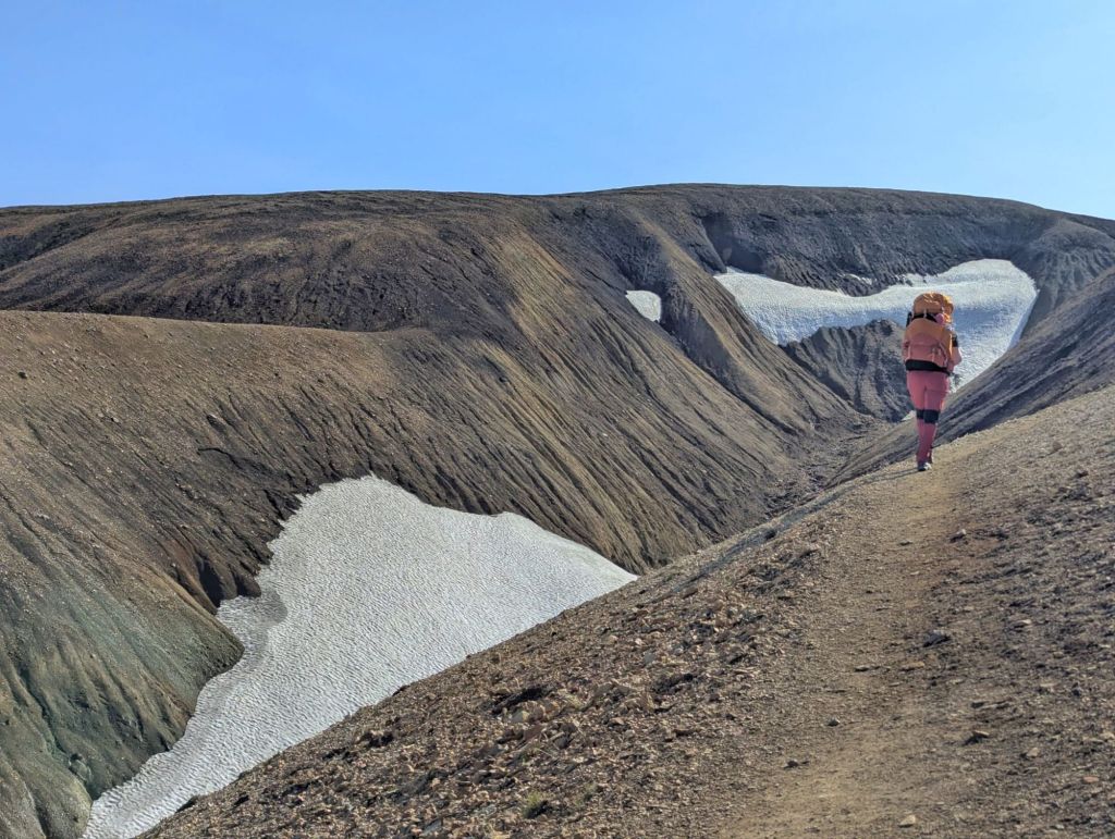
This is an area where fog and poor visibility can completely transform the experience, so having clear blue skies meant we could see the landscape in all its glory.
Hrafntinnusker
After taking in the incredible colours of Landmannalaugar, we set off towards Hrafntinnusker, our home for the night.
The landscape quickly became more wild and otherworldly as we climbed higher into the Icelandic Highlands. The mountains seemed to change colour with every turn, with endless ridges, valleys and volcanic landscapes stretching out around us.
Eventually, after our much-photographed 12 km, we arrived at Hrafntinnusker.
Hrafntinnusker sits at around 1,100 metres (3,608 ft) and is known as one of the harshest and most exposed campsites on the Laugavegur Trail.
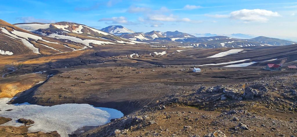
The weather can change dramatically here and snow can linger well into August (like today) a good reminder that despite the sunshine we’d enjoyed earlier, Iceland’s Highlands play by their own rules!
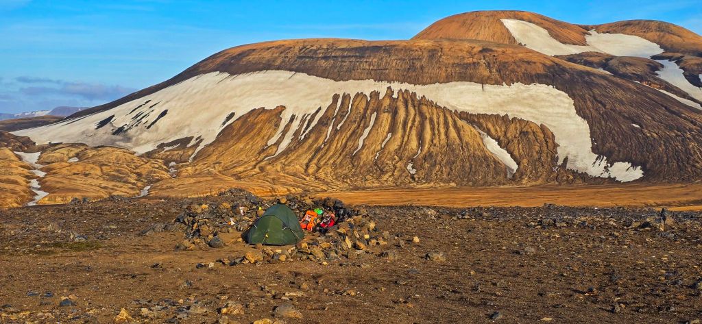
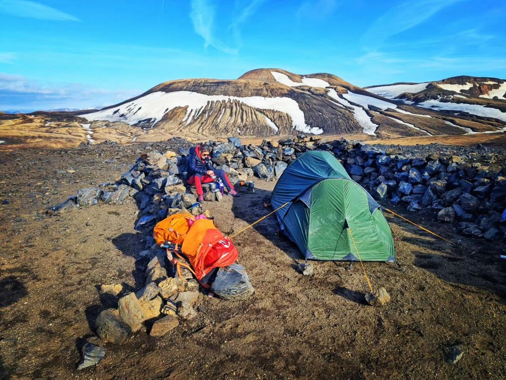
Once we reached the campsite, the backpacks came off, we set up camp before heading out again for an evening hike up Stöðull, reaching around 1,132 metres (3,714 ft).
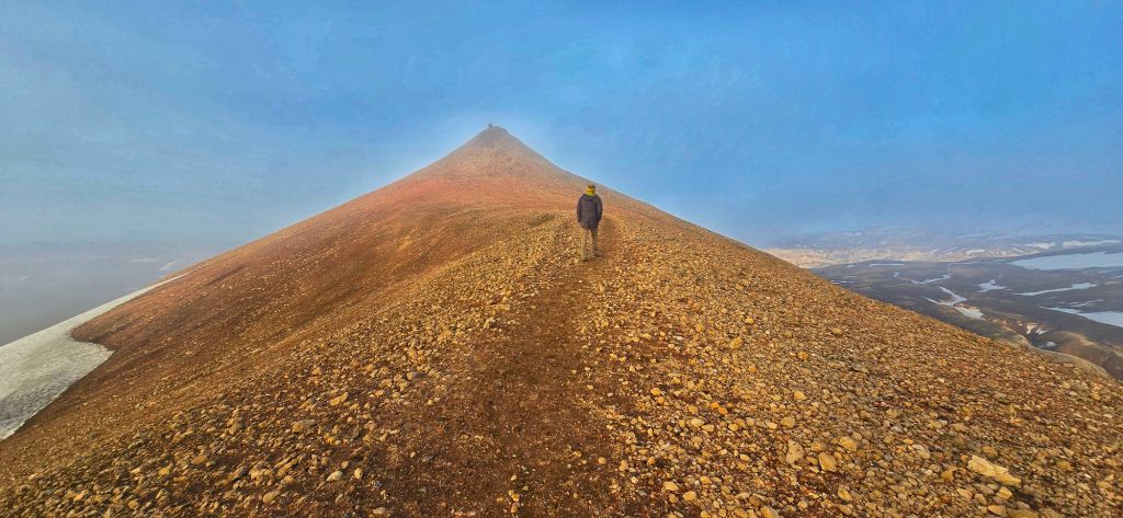
The views were incredible and then, as if the landscape hadn’t already given us enough, we were treated to a very special Icelandic phenomenon – a Brocken spectre.
Our own shadow appeared projected onto the mist, surrounded by a glowing halo. One of those moments you don’t quite expect to see when you set off for a hike.
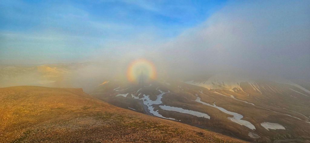
Not a bad way to finish our first day on the Laugavegur Trail.
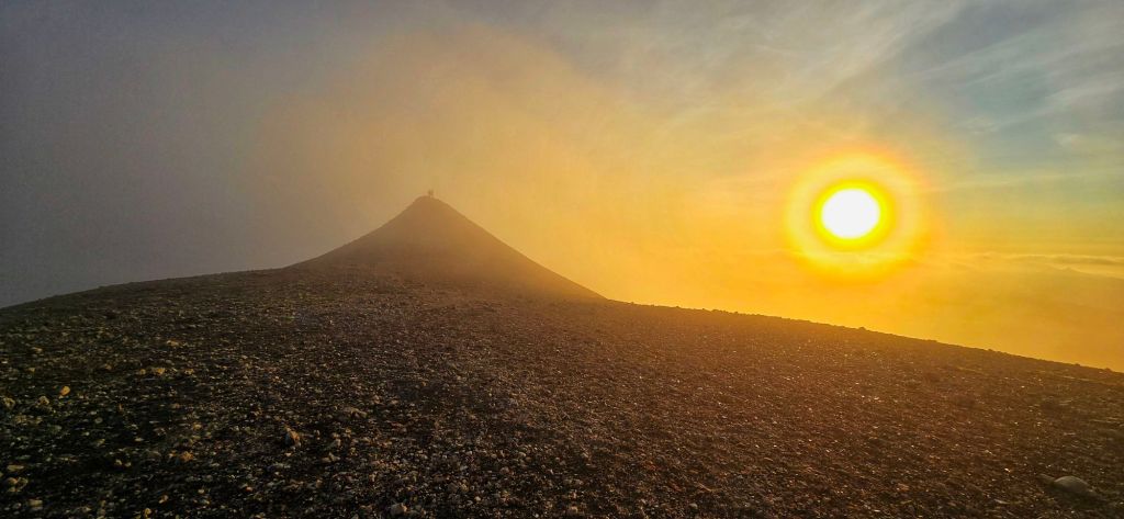
First day done.
As we settled into our first night in the Icelandic Highlands, thinking about the landscape we’d just walked through, it was difficult to believe that this was only Day 1.
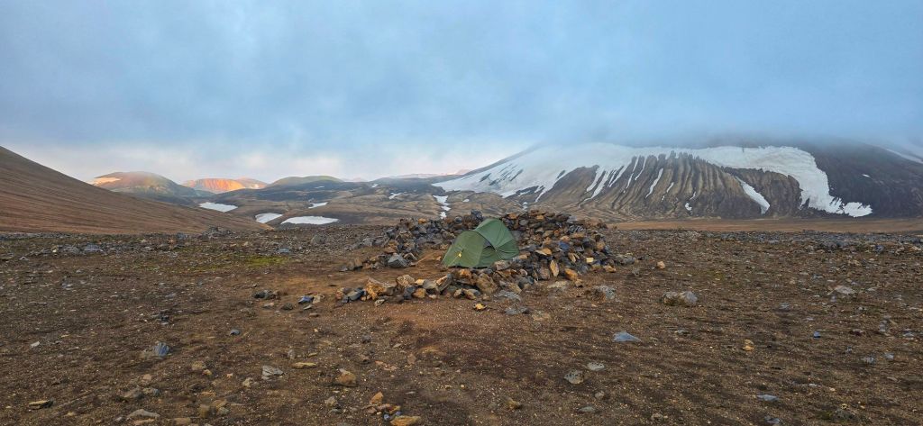
If this was what the first 12 kilometres had in store for us, we couldn’t wait to see what the next four days would bring.
Day 1 verdict:
Distance: 12 km
Ascent: 664 m
Weather: Absolutely nailed it
Scenery: Ridiculous
Photos taken: Far too many
Backpack: Noticeably heavier than it looked this morning
Legs: Still optimistic
Regrets: None… yet
See video below of our hike hope you enjoy it!

